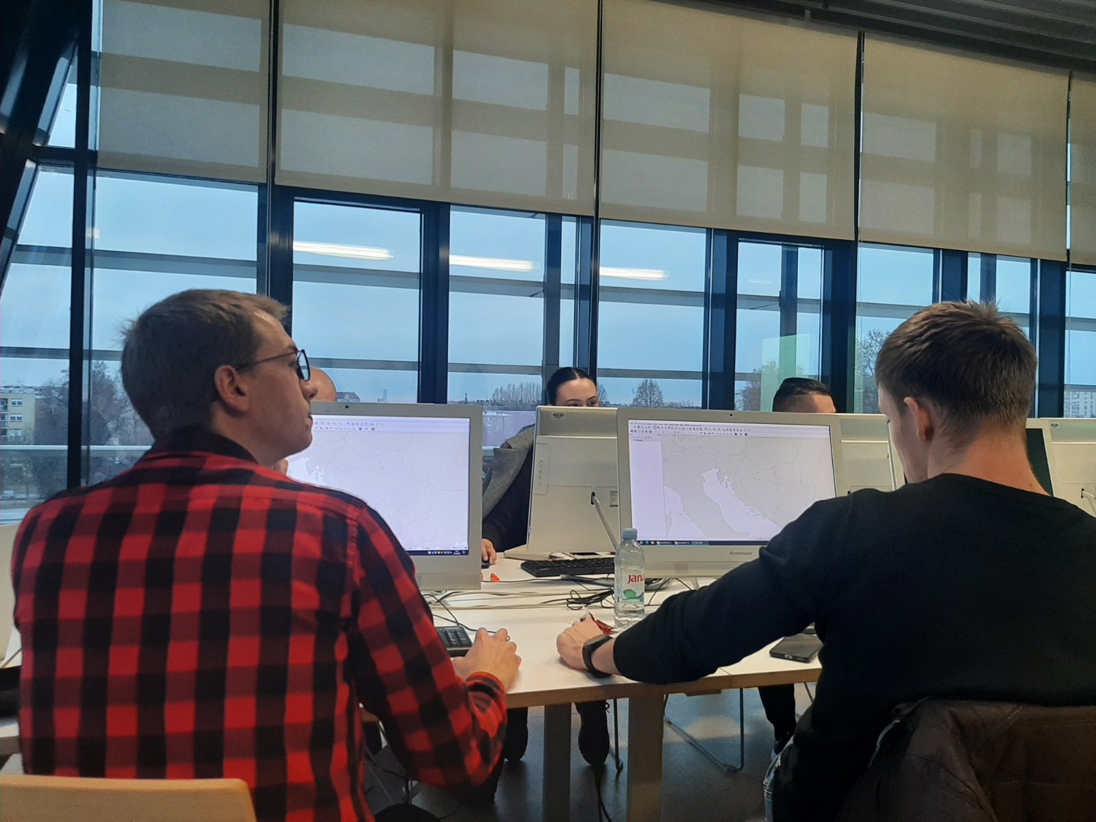
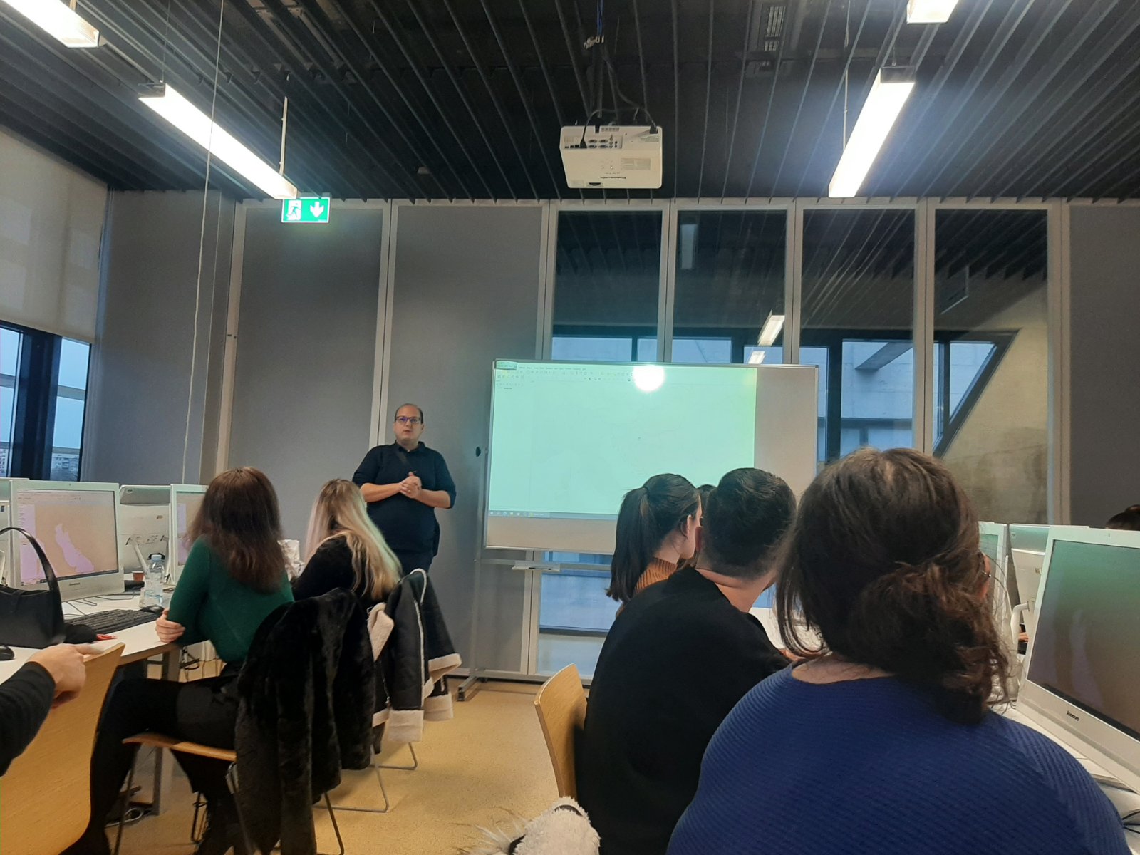
As part of the Erasmus+ KA2 Cooperation Partnerships project “Intelligent Methods for Structures, Elements and Materials – IM4StEM"” the first part of the Training of Trainers (ToT) webinar entitled “Application of GIS in the seismic risk analysis process” took place on 10 November 2023. The webinar was led by Vedran Stojnović.
The content of the webinar is as follows:
Lesson 2: Working in GIS
Lesson 2 covers the following topics using free open-source GIS software – QGIS:
- Creating and viewing a basic map
- Data visualization
- Classifying vector data
- Preparing cartographic representations for printing
- Creating vector data
- Data entry and data modification
- Performing spatial analyses on vector data
The webinar can be downloaded from the following link:
https://im4stem.eu/webinari/